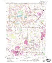
2022 Map of Sussex
USGS Topo · Published 2022About this map
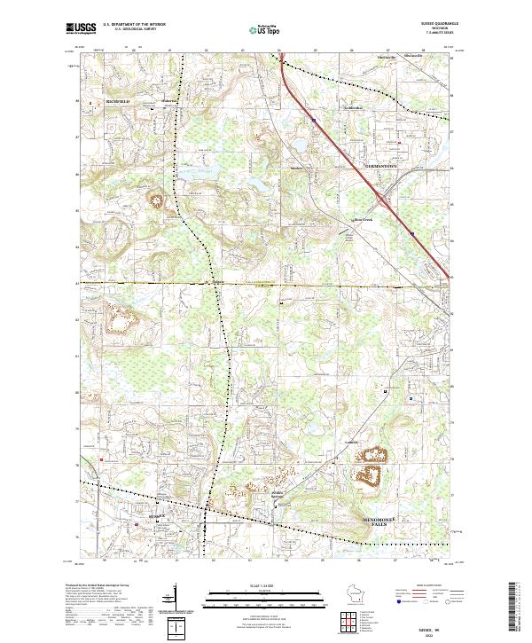
Sussex and Menomonee Falls anchor this survey of the northern Waukesha County and southern Washington County borderlands. The landscape is defined by the legacy of the Kettle Moraine, visible in the winding course of the Bark River and the positioning of Bark Lake and Mud Lake near the villages of Hubertus and Richfield. The transition from agrarian history to modern suburban density is reflected in the numerous burial grounds preserved here, including Saint Hubert Catholic Cem and Saint Albans Episcopal Church Cem, which serve as anchors for early local history.
Find a feature on this map
230 named features on this map. Tap any name to fly to it.
Don’t see what you’re looking for? This feature index may not catch every label — zoom into the map to look around manually.
Map Details
Editions of this 2022 Sussex Map
This is the sole edition of this map. No revisions or reprints were ever made.