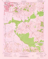
1968 Map of Sutherland
USGS Topo · Published 1969About this map
The city of Owensboro dominates the northwestern corner of this landscape, showcasing a mid-century period of expansion characterized by the presence of Kentucky Wesleyan College, Legion Park, and several parochial institutions like Our Lady of Lourdes Sch. Beyond the urban core, the landscape transitions into the broad, low-lying Jackson Flats, where the Louisville and Nashville railroad cuts a straight path toward the rural community of Sutherland. This transition from the structured street grids of Beltline and Fairview Drive to the winding rural routes like Old Hartford Road reflects the regional shift from city center to agricultural hinterland.
Find a feature on this map
61 named features on this map. Tap any name to fly to it.
Don’t see what you’re looking for? This feature index may not catch every label — zoom into the map to look around manually.
Map Details
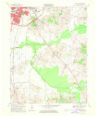
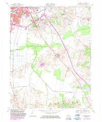
Editions of this 1968 Sutherland Map
3 editions found
Other maps of this area

1901 · Owensboro
USGS Topo · 1:62,500

1903 · Tell City
USGS Topo · 1:62,500

1906 · Sutherland
USGS Topo · 1:62,500

1907 · Whitesville
USGS Topo · 1:62,500

1909 · Whitesville
USGS Topo · 1:62,500

1952 · Owensboro East
USGS Topo · 1:24,000

1952 · Owensboro West
USGS Topo · 1:24,000

1953 · Philpot
USGS Topo · 1:24,000

1953 · Sutherland
USGS Topo · 1:24,000

1953 · Utica
USGS Topo · 1:24,000