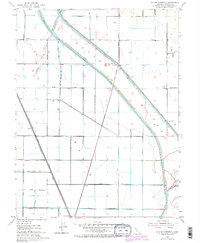
1952 Map of Sutter Causeway
USGS Topo · Published 1974About this map
Agricultural development and flood control infrastructure dominate this landscape in the Sacramento Valley. The Sutter By-Pass cuts a wide swath across the terrain, flanked by a complex system of levees and the East Canal to manage the area's seasonal inundation. The settlement of Subaco sits along the Southern Pacific Railroad, which runs parallel to the bypass, serving as a vital transport artery for local produce. The map illustrates a highly organized grid of rural roads, including Sutter Causeway and Subaco Road, reflecting the intensive land use of the mid-20th century. Notable water features like Gilsizer Slough and Nelson Slough persist amidst the engineered drainage, while a solitary Landing Strip and a Pumping Station highlight the specialized infrastructure required to maintain this productive but flood-prone region.
Find a feature on this map
33 named features on this map. Tap any name to fly to it.
Don’t see what you’re looking for? This feature index may not catch every label — zoom into the map to look around manually.
Map Details
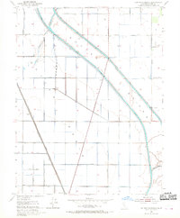
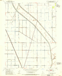
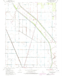
Editions of this 1952 Sutter Causeway Map
4 editions found
Other maps of this area

1888 · Marysville
USGS Topo · 1:125,000

1891 · Marysville
USGS Topo · 1:125,000

1894 · Marysville
USGS Topo · 1:125,000

1895 · Marysville
USGS Topo · 1:125,000

1907 · Dunnigan
USGS Topo · 1:62,500

1910 · Knights Landing
USGS Topo · 1:31,680

1910 · Vernon
USGS Topo · 1:31,680

1910 · Nicolaus
USGS Topo · 1:31,680

1910 · Marcuse
USGS Topo · 1:31,680

1911 · Gilsizer Slough
USGS Topo · 1:31,680