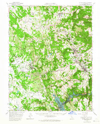
1962 Map of Sutter Creek
USGS Topo · Published 1964About this map
Sutter Creek and the surrounding Mother Lode gold belt are depicted in detail during the early 1960s, a period when the deep-rock mining heritage was still physically dominant on the landscape. The map highlights numerous major historical operations, including the Kennedy Mine, Oneida Mine, and Old Eureka Mine, alongside the vast tailings piles that characterize the terrain around Jackson and Martell. This survey is particularly notable for recording the geography just prior to the full filling of Camanche Reservoir, with blue hatching indicating the specific areas along the Mokelumne River and Coyote Creek slated for submergence.
Find a feature on this map
142 named features on this map. Tap any name to fly to it.
Don’t see what you’re looking for? This feature index may not catch every label — zoom into the map to look around manually.
Map Details
Editions of this 1962 Sutter Creek Map
2 editions found
Other maps of this area

1889 · Jackson
USGS Topo · 1:125,000

1891 · Sacramento
USGS Topo · 1:125,000

1891 · Placerville
USGS Topo · 1:125,000

1892 · Jackson
USGS Topo · 1:125,000

1892 · Sacramento
USGS Topo · 1:125,000

1892 · Placerville
USGS Topo · 1:125,000

1893 · Placerville
USGS Topo · 1:125,000

1893 · Sacramento
USGS Topo · 1:125,000

1894 · Lodi
USGS Topo · 1:125,000

1897 · Jackson
USGS Topo · 1:125,000