
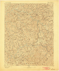
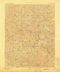
1893 Map of Sutton
USGS Topo · Published 1893About this map
Sutton and Glenville serve as central hubs in this late nineteenth-century portrait of central West Virginia, where the landscape is defined by the winding paths of the Elk River and the Little Kanawha River. The terrain is a dense network of ridges and knobs, including named heights like Powell Knob and Hickory Knob, which dictated the early settlement patterns of Gilmer and Braxton counties.
Find a feature on this map
76 named features on this map. Tap any name to fly to it.
Don’t see what you’re looking for? This feature index may not catch every label — zoom into the map to look around manually.
Map Details
Editions of this 1893 Sutton Map
3 editions found
Other maps of this area

1889 · Nicholas
USGS Topo · 1:125,000

1891 · Nicholas
USGS Topo · 1:125,000

1891 · Huntersville
USGS Topo · 1:125,000

1893 · Buckhannon
USGS Topo · 1:125,000

1894 · Huntersville
USGS Topo · 1:125,000

1896 · Buckhannon
USGS Topo · 1:125,000

1897 · Buckhannon
USGS Topo · 1:125,000

1897 · Kanawha Falls
USGS Topo · 1:125,000

1900 · Kanawha Falls
USGS Topo · 1:125,000

1901 · Nicholas
USGS Topo · 1:125,000