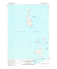
1963 Map of Sutwik Island A-3
USGS Topo · Published 1968About this map
The Semidi Islands emerge from the Pacific Ocean in this 1960s study of the remote Alaska coastline. The archipelago is dominated by two primary landmasses, Aghiyuk Island to the north and Chowiet Island to the south, both characterized by steep topographic contours and coastal cliffs reaching toward the sea. As the entire land area is contained within the Semidi National Wildlife Refuge, the map lacks human infrastructure, focusing instead on the natural geography and maritime landmarks of the group. Smaller islets like Anowik Island, Kiliktagik Island, and Suklik Island are mapped with precision, showing the intricate shoreline and scattered rocks that define this isolated maritime environment. The survey incorporates hydrographic data from 1967, providing depth soundings and submerged hazards for the surrounding waters.
Find a feature on this map
19 named features on this map. Tap any name to fly to it.
Don’t see what you’re looking for? This feature index may not catch every label — zoom into the map to look around manually.
Map Details
Editions of this 1963 Sutwik Island A-3 Map
2 editions found
Other maps of this area

1951 · Sutwik Island
USGS Topo · 1:250,000

1963 · Sutwik Island
USGS Topo · 1:250,000
1963 · Sutwik Island A-3
USGS Topo · 1:63,360
2019 · Sutwik Island A-3 NE
USGS Topo · 1:25,000
2019 · Sutwik Island A-3 OE E SW
USGS Topo · 1:25,000
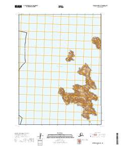
2019 · Sutwik Island A-3 SE
USGS Topo · 1:25,000
2020 · Sutwik Island A-3 OE S NE
USGS Topo · 1:25,000