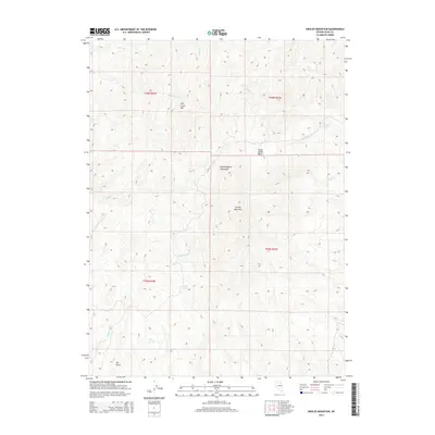
2014 Map of Swales Mountain
USGS Topo · Published 2014About this map
Swales Mountain and the Independence Mountains dominate this high-desert terrain of Elko County, Nevada. The landscape is defined by a series of prominent peaks and basins, including the high ridges of Fish Creek Mtn and the low-lying Camp Creek Basin. Water is a scarce and vital resource in this arid environment, evidenced by the scattered named springs that likely served as critical stops for early travelers and livestock. These include Mine Spring, Yellow Spring, and Louse Spring. A network of drainage systems such as Donna Cr, Taylor Cr, and Cottonwood Cr carve through the topography, leading toward Dry Gulch. This map provides a technical look at the land's relief and hydrology, emphasizing the natural landmarks that have long dictated movement through this part of the Great Basin.
Find a feature on this map
21 named features on this map. Tap any name to fly to it.
Don’t see what you’re looking for? This feature index may not catch every label — zoom into the map to look around manually.
Map Details
Editions of this 2014 Swales Mountain Map
This is the sole edition of this map. No revisions or reprints were ever made.
Other maps of this area

1955 · McDermitt
USGS Topo · 1:250,000

1955 · Wells
USGS Topo · 1:250,000

1955 · Winnemucca
USGS Topo · 1:250,000

1955 · Elko
USGS Topo · 1:250,000

1958 · Winnemucca
USGS Topo · 1:250,000

1958 · Wells
USGS Topo · 1:250,000

1958 · Elko
USGS Topo · 1:250,000

1958 · Singletree Creek
USGS Topo · 1:24,000

1958 · Hunter
USGS Topo · 1:24,000

1958 · Blue Basin
USGS Topo · 1:24,000