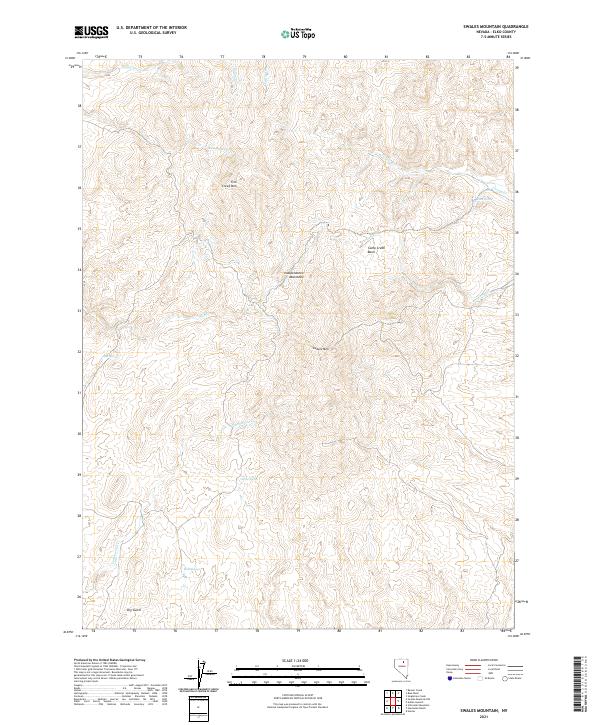
2021 Map of Swales Mountain
USGS Topo · Published 2021About this map
Swales Mtn and the surrounding high country of the Independence Mountains define this landscape in the Elko County backcountry. The terrain is characterized by a series of drainages and isolated water sources, such as Mine Spring, Yellow Spring, and Louse Spring, which provided essential water for cattle and mining prospects in this arid environment. The map details the complex topography from the Camp Creek Basin to the heights of Fish Creek Mtn. Numerous ephemeral and perennial waterways, including Donna Cr, Red House Cr, and Cottonwood Cr, carve through the ridges. The presence of Dry Gulch and Mud Springs in the southern sections further illustrates the varied hydrologic character of the basin-and-range province as documented in the early twenty-first century.
Find a feature on this map
21 named features on this map. Tap any name to fly to it.
Don’t see what you’re looking for? This feature index may not catch every label — zoom into the map to look around manually.
Map Details
Editions of this 2021 Swales Mountain Map
This is the sole edition of this map. No revisions or reprints were ever made.
Other maps of this area

1955 · McDermitt
USGS Topo · 1:250,000

1955 · Wells
USGS Topo · 1:250,000

1955 · Winnemucca
USGS Topo · 1:250,000

1955 · Elko
USGS Topo · 1:250,000

1958 · Winnemucca
USGS Topo · 1:250,000

1958 · Wells
USGS Topo · 1:250,000

1958 · Elko
USGS Topo · 1:250,000

1958 · Singletree Creek
USGS Topo · 1:24,000

1958 · Hunter
USGS Topo · 1:24,000

1958 · Blue Basin
USGS Topo · 1:24,000