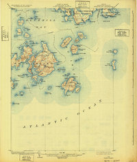
1904 Map of Swan Island
USGS Topo · Published 1932About this map
Swan Island and its surrounding archipelago define this maritime landscape in Blue Hill Bay, where coastal life was inextricably linked to the sea at the turn of the century. The map reveals the intricate network of the Steamboat Route connecting isolated settlements like Frenchboro on Long Island and Mc Kinley on the mainland. Topographical details highlight the coastal elevations of Big Mt. and Goose Mt., which served as natural landmarks for mariners navigating the Casco Passage.
Find a feature on this map
100 named features on this map. Tap any name to fly to it.
Don’t see what you’re looking for? This feature index may not catch every label — zoom into the map to look around manually.
Map Details
Editions of this 1904 Swan Island Map
4 editions found
Other maps of this area

1904 · Deer Isle
USGS Topo · 1:62,500

1904 · Mount Desert
USGS Topo · 1:62,500

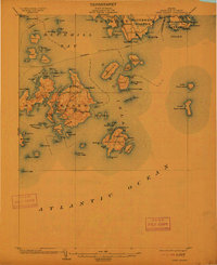
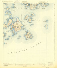
1904 · Swan Island
USGS Topo · 1:62,500

1904 · Bar Harbor
USGS Topo · 1:62,500

1904 · Bluehill
USGS Topo · 1:62,500

1905 · Penobscot Bay
USGS Topo · 1:125,000

1942 · Bar Harbor
USGS Topo · 1:62,500

1942 · Mount Desert
USGS Topo · 1:62,500

1942 · Deer Isle
USGS Topo · 1:62,500

1943 · Swans Island
USGS Topo · 1:62,500