
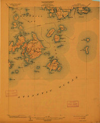
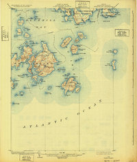
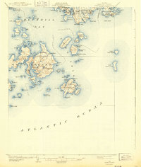
1904 Map of Swan Island
USGS Topo · Published 1904About this map
The maritime communities of Swan Island and Long Island anchor this 1904 coastal survey, revealing a landscape defined by isolated settlements and essential waterborne transport. On the larger western island, the villages of Minturn and Atlantic are connected by local roads, while the deep indentation of Burntcoat Harbor serves as a protected maritime hub. Further east, the village of Frenchboro overlooks Lunt Harbor on Long Island, representing a classic Maine island outpost during the height of the coastal trade era.
Find a feature on this map
109 named features on this map. Tap any name to fly to it.
Don’t see what you’re looking for? This feature index may not catch every label — zoom into the map to look around manually.
Map Details
Editions of this 1904 Swan Island Map
4 editions found
Other maps of this area

1904 · Deer Isle
USGS Topo · 1:62,500

1904 · Mount Desert
USGS Topo · 1:62,500

1904 · Bar Harbor
USGS Topo · 1:62,500

1904 · Bluehill
USGS Topo · 1:62,500

1905 · Penobscot Bay
USGS Topo · 1:125,000

1942 · Bar Harbor
USGS Topo · 1:62,500

1942 · Mount Desert
USGS Topo · 1:62,500

1942 · Deer Isle
USGS Topo · 1:62,500

1943 · Swans Island
USGS Topo · 1:62,500

1944 · Blue Hill
USGS Topo · 1:62,500