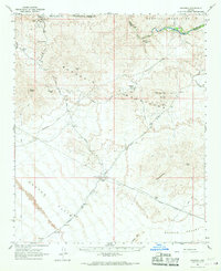
1966 Map of Swansea
USGS Topo · Published 1967About this map
Swansea (Site) and Planet (Site) anchor this mid-1960s survey of a copper mining landscape along the border of Mohave and Yuma counties. The terrain is defined by the Rawhide Mountains and Buckskin Mountains, where the Bill Williams River cuts a deep course through the desert. Industrial history is evident in the remaining Old Railroad Grade and specialized infrastructure like the Retort Oven and Swansea Pumping Station. These features reflect an era of extraction and transport that linked isolated desert camps to broader markets.
Find a feature on this map
37 named features on this map. Tap any name to fly to it.
Don’t see what you’re looking for? This feature index may not catch every label — zoom into the map to look around manually.
Map Details
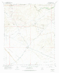
Editions of this 1966 Swansea Map
2 editions found
Other maps of this area

1911 · Parker
USGS Topo · 1:125,000

1923 · Signal
USGS Topo · 1:250,000

1930 · Linskey
USGS Topo · 1:62,500

1942 · Signal
USGS Topo · 1:250,000

1942 · Blythe
USGS Topo · 1:250,000

1942 · Vicksburg
USGS Topo · 1:250,000

1943 · Giers Basin
USGS Topo · 1:62,500

1950 · Prescott
USGS Topo · 1:250,000

1954 · Salton Sea
USGS Topo · 1:250,000

1954 · Needles
USGS Topo · 1:250,000