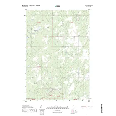
2023 Map of Swanson
USGS Topo · Published 2023About this map
The Menominee River defines the southern boundary of this Upper Peninsula landscape, marking the border where Michigan meets Wisconsin. Small unincorporated settlements like Swanson, Kells, and Longrie anchor a grid of rural roads, including W Daggett Rd and Co Rd 577, which connect isolated homesteads and timberlands. Local heritage is preserved at the Swedish Methodist Cem and the Bethesda Lutheran Cem near the eastern edge of the quadrangle.
Find a feature on this map
67 named features on this map. Tap any name to fly to it.
Don’t see what you’re looking for? This feature index may not catch every label — zoom into the map to look around manually.
Map Details
Editions of this 2023 Swanson Map
This is the sole edition of this map. No revisions or reprints were ever made.
Other maps of this area

1939 · Pembine
USGS Topo · 1:48,000

1942 · Wausaukee
USGS Topo · 1:48,000

1947 · Pembine
USGS Topo · 1:48,000

1947 · Wausaukee
USGS Topo · 1:48,000

1949 · Stephenson
USGS Topo · 1:48,000

1954 · Escanaba
USGS Topo · 1:250,000

1957 · Escanaba
USGS Topo · 1:250,000

1958 · Escanaba
USGS Topo · 1:250,000

1963 · Pembine
USGS Topo · 1:62,500

1963 · Powers
USGS Topo · 1:62,500