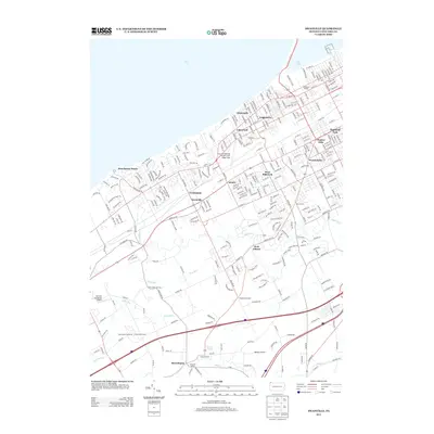
2013 Map of Swanville
USGS Topo · Published 2013About this map
Lake Erie shapes the northern edge of this suburban and rural landscape west of Erie, where established lakeside communities give way to the winding valleys of Walnut Cr and Bear Run. In the early 21st century, the area shows a complex transition from dense residential neighborhoods like Lakewood and West Millcreek to the aviation and recreation hubs further south. The expansive grounds of the Erie International Airport/Tom Ridge Field dominate the central topography, while the Erie Downs Racetrack and Commodore Downs occupy the lower reaches of the map near the Trout Run drainage.
Find a feature on this map
299 named features on this map. Tap any name to fly to it.
Don’t see what you’re looking for? This feature index may not catch every label — zoom into the map to look around manually.
Map Details
Editions of this 2013 Swanville Map
This is the sole edition of this map. No revisions or reprints were ever made.
Other maps of this area

1899 · Erie
USGS Topo · 1:62,500

1900 · Girard
USGS Topo · 1:62,500

1900 · Erie
USGS Topo · 1:62,500

1900 · Fairview
USGS Topo · 1:62,500

1923 · Cambridge Springs
USGS Topo · 1:62,500

1925 · Cambridge Springs
USGS Topo · 1:62,500

1943 · Cambridge Springs
USGS Topo · 1:62,500

1950 · Cleveland
USGS Topo · 1:250,000

1950 · Erie
USGS Topo · 1:250,000

1956 · Cleveland
USGS Topo · 1:250,000