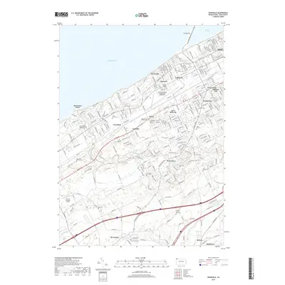
2019 Map of Swanville
USGS Topo · Published 2019About this map
Lake Erie and Presque Isle Bay define the northern boundary of this coastal landscape, where the urban expansion of Erie meets established suburban communities like West Millcreek and Swanville. This modern survey illustrates the dense network of neighborhoods such as Lakewood, Eaglehurst, and Charter Oaks that have grown around the Erie International Airport/Tom Ridge Field.
Find a feature on this map
45 named features on this map. Tap any name to fly to it.
Don’t see what you’re looking for? This feature index may not catch every label — zoom into the map to look around manually.
Map Details
Editions of this 2019 Swanville Map
This is the sole edition of this map. No revisions or reprints were ever made.
Other maps of this area

1899 · Erie
USGS Topo · 1:62,500

1900 · Girard
USGS Topo · 1:62,500

1900 · Erie
USGS Topo · 1:62,500

1900 · Fairview
USGS Topo · 1:62,500

1923 · Cambridge Springs
USGS Topo · 1:62,500

1925 · Cambridge Springs
USGS Topo · 1:62,500

1943 · Cambridge Springs
USGS Topo · 1:62,500

1950 · Cleveland
USGS Topo · 1:250,000

1950 · Erie
USGS Topo · 1:250,000

1956 · Cleveland
USGS Topo · 1:250,000