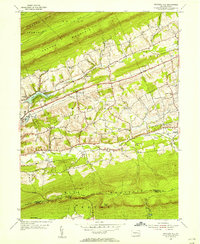
1955 Map of Swatara Hill
USGS Topo · Published 1956About this map
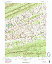
Blue Mountain and Sharp Mountain define the topography of this Schuylkill County landscape, where the ridges of the Appalachians dictated the early routes of industry and transit. Along the central corridor, the Reading railroad parallels the course of Swatara Cr, connecting small rural settlements like Roedersville and De Turksville. The map documents a deeply established religious and social network, evidenced by numerous country churches such as Hauers Ch, Salem Ch, and Zion Ch. To the south, the Appalachian Trail follows the high ridge of Blue Mountain, passing landmark shelters like Hertline Shelter and Applebee Shelter. The presence of Sweet Arrow Lake and specialized camps like the YWCA Camp and Camp Swatara indicate the area's mid-century role as a recreational retreat, balanced against the older agrarian and industrial patterns of the valley floor.
Find a feature on this map
35 named features on this map. Tap any name to fly to it.
Don’t see what you’re looking for? This feature index may not catch every label — zoom into the map to look around manually.
Map Details
Editions of this 1955 Swatara Hill Map
6 editions found
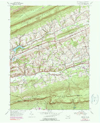
Other maps of this area

1889 · Pottsville
USGS Topo · 1:62,500

1891 · Pottsville
USGS Topo · 1:62,500

1891 · Lebanon
USGS Topo · 1:62,500

1892 · Pine Grove
USGS Topo · 1:62,500

1893 · Lebanon
USGS Topo · 1:62,500

1899 · Lebanon
USGS Topo · 1:62,500

1902 · Wernersville
USGS Topo · 1:62,500

1943 · Lebanon
USGS Topo · 1:62,500

1943 · Wernersville
USGS Topo · 1:62,500

1944 · Pottsville
USGS Topo · 1:24,000
Featured Places
- Bethel Township, PA
- Tremont Township, PA
- Reilly Township, PA
- Roedersville, Washington Township
- Pleasant Valley, Pine Grove Township