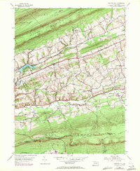
1955 Map of Swatara Hill
USGS Topo · Published 1971About this map
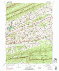
Blue Mountain and Second Mountain dominate this landscape, defining a series of narrow valleys where agriculture and small settlements took root in the mid-20th century. The cultural layer, revised in 1955 and updated with aerial data in 1969, reveals a network of country churches like Hauers Ch and Salem Ch that anchored the rural communities of Roedersville and De Turksville. Along the southern slopes of Blue Mountain, the Appalachian Trail follows the ridge, marking the boundary between Schuylkill and Berks counties.
Find a feature on this map
31 named features on this map. Tap any name to fly to it.
Don’t see what you’re looking for? This feature index may not catch every label — zoom into the map to look around manually.
Map Details
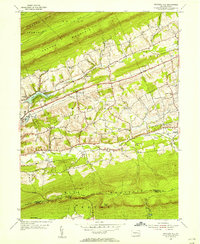
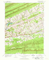
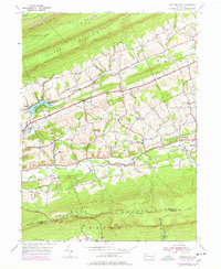
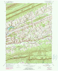
Editions of this 1955 Swatara Hill Map
6 editions found
Other maps of this area

1889 · Pottsville
USGS Topo · 1:62,500

1891 · Pottsville
USGS Topo · 1:62,500

1891 · Lebanon
USGS Topo · 1:62,500

1892 · Pine Grove
USGS Topo · 1:62,500

1893 · Lebanon
USGS Topo · 1:62,500

1899 · Lebanon
USGS Topo · 1:62,500

1902 · Wernersville
USGS Topo · 1:62,500

1943 · Lebanon
USGS Topo · 1:62,500

1943 · Wernersville
USGS Topo · 1:62,500

1944 · Pottsville
USGS Topo · 1:24,000
Featured Places
- Bethel Township, PA
- Tremont Township, PA
- Reilly Township, PA
- Roedersville, Washington Township
- Pleasant Valley, Pine Grove Township