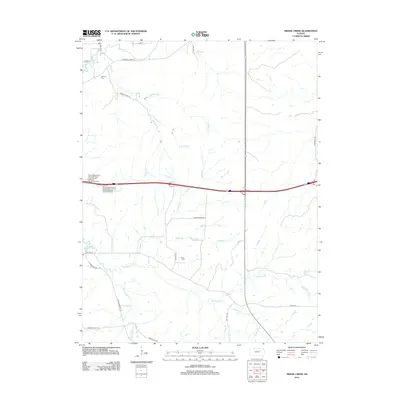
2012 Map of Swede Creek
USGS Topo · Published 2012About this map
McDowell Cr and the fork of Kings Cr define the northern drainage of this Riley County landscape, which transitions into a network of ranch roads and prairie drainages. The area is anchored by the long-standing Ashland Cem near the northwestern corner, while the central hills are bisected by modern infrastructure, including the Geary County Rest Areas along the Interstate 70 corridor.
Find a feature on this map
34 named features on this map. Tap any name to fly to it.
Don’t see what you’re looking for? This feature index may not catch every label — zoom into the map to look around manually.
Map Details
Editions of this 2012 Swede Creek Map
This is the sole edition of this map. No revisions or reprints were ever made.
Other maps of this area

1885 · Eskridge
USGS Topo · 1:125,000

1886 · Junction City
USGS Topo · 1:125,000

1889 · Wamego
USGS Topo · 1:125,000

1889 · Junction City
USGS Topo · 1:125,000

1889 · Parkerville
USGS Topo · 1:125,000

1889 · Eskridge
USGS Topo · 1:125,000

1894 · Eskridge
USGS Topo · 1:125,000

1894 · Junction City
USGS Topo · 1:125,000

1894 · Parkerville
USGS Topo · 1:125,000

1894 · Wamego
USGS Topo · 1:125,000