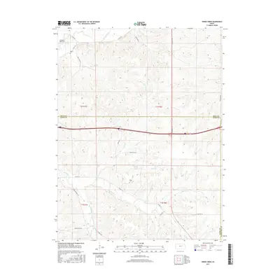
2015 Map of Swede Creek
USGS Topo · Published 2015About this map
Ashland Bottoms occupies the northwest corner of this landscape, where the terrain breaks into a complex network of drainage basins. The map reveals a rural geography defined by its waterways, including the winding McDowell Creek and its many tributaries like E McDowell Cr and W McDowell Cr. Local history is anchored by the presence of Ashland Cem and Briggs Cem, providing essential markers for genealogical research in this part of Riley County. The road network, featuring names like Konza Prairie Ln and Rooks Ranch Rd, suggests a long history of ranching and conservation. In the center of the sheet, Jewell County Lake and Briggs Br highlight the importance of water management in this prairie environment. The intersection of three counties—Riley, Geary, and Wabaunsee—occurs at the southern and western margins, reflecting the political boundaries that shape this rural Kansas district.
Find a feature on this map
36 named features on this map. Tap any name to fly to it.
Don’t see what you’re looking for? This feature index may not catch every label — zoom into the map to look around manually.
Map Details
Editions of this 2015 Swede Creek Map
This is the sole edition of this map. No revisions or reprints were ever made.
Other maps of this area

1885 · Eskridge
USGS Topo · 1:125,000

1886 · Junction City
USGS Topo · 1:125,000

1889 · Wamego
USGS Topo · 1:125,000

1889 · Junction City
USGS Topo · 1:125,000

1889 · Parkerville
USGS Topo · 1:125,000

1889 · Eskridge
USGS Topo · 1:125,000

1894 · Eskridge
USGS Topo · 1:125,000

1894 · Junction City
USGS Topo · 1:125,000

1894 · Parkerville
USGS Topo · 1:125,000

1894 · Wamego
USGS Topo · 1:125,000