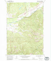
1968 Map of Swede Gulch
USGS Topo · Published 1981About this map
Mining operations and high-country waterways define this portion of the Helena National Forest in late 1960s Montana. The landscape is marked by numerous active and historical prospects, including the Silver Bell Mine, the Columbia Mine, and the Last Chance Mine, illustrating the persistent search for mineral wealth in the mountains of Lewis and Clark County. Drainage systems such as the Blackfoot River and its tributaries, including Landers Fork and Hogum Creek, dictate the movement through these canyons.
Find a feature on this map
30 named features on this map. Tap any name to fly to it.
Don’t see what you’re looking for? This feature index may not catch every label — zoom into the map to look around manually.
Map Details
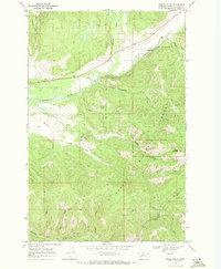
Editions of this 1968 Swede Gulch Map
2 editions found
Other maps of this area

1889 · Helena
USGS Topo · 1:250,000

1893 · Helena
USGS Topo · 1:250,000

1899 · Helena
USGS Topo · 1:250,000

1903 · Coopers Lake
USGS Topo · 1:125,000

1903 · Helena
USGS Topo · 1:250,000

1943 · Hogan
USGS Topo · 1:125,000

1947 · Butte
USGS Topo · 1:250,000

1955 · Choteau
USGS Topo · 1:250,000

1957 · Choteau
USGS Topo · 1:250,000

1958 · Butte
USGS Topo · 1:250,000