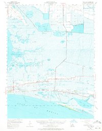
1955 Map of Sweet Lake
USGS Topo · Published 1972About this map
Sabine National Wildlife Refuge dominates the central portion of this coastal Louisiana survey, where an intricate network of bayous like Mangrove Bayou and Lambert Bayou wind through the marshlands. Along the southern ridges, the settlement of Creole serves as a local hub, supported by institutions such as Creole High Sch and St Hubert Ch. The landscape is a study in the intersection of natural hydrology and human industry, with the Intracoastal Waterway cutting through the northern reaches near the Sweet Lake Oil Field. Evidence of the region's mid-century water-based transport is visible at the Creole Ferry, while the southern boundary meets the Gulf of Mexico at Hackberry Beach. Notable landmarks for family historians include the Ebenezer Ch and the Cameron High Sch, situated along the narrow habitable strips of Front Ridge and Oak Grove Ridge.
Find a feature on this map
48 named features on this map. Tap any name to fly to it.
Don’t see what you’re looking for? This feature index may not catch every label — zoom into the map to look around manually.
Map Details
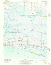
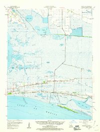
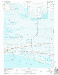
Editions of this 1955 Sweet Lake Map
4 editions found
Other maps of this area

1932 · Moss Lake
USGS Topo · 1:31,680

1932 · Lake Charles SW
USGS Topo · 1:31,680

1932 · Lake Charles SE
USGS Topo · 1:31,680

1934 · Cameron
USGS Topo · 1:24,000

1934 · Lake Misere
USGS Topo · 1:24,000

1934 · Sweet Lake
USGS Topo · 1:24,000

1934 · Grand Bayou
USGS Topo · 1:24,000

1934 · Boudreaux Lake
USGS Topo · 1:24,000

1935 · Cameron
USGS Topo · 1:31,680

1935 · Sweet Lake
USGS Topo · 1:31,680