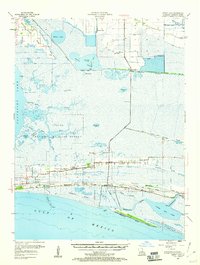
1955 Map of Sweet Lake
USGS Topo · Published 1960About this map
Sabine National Wildlife Refuge dominates this coastal landscape in the mid-1950s, a complex of bayous, prongs, and savannas including Mangrove Bayou and Grosse Savane. Settlement follows the natural high ground of the ridges, with the community of Creole serving as a hub for local life. This stretch of Cameron Parish reveals a specialized economy where maritime transit via the Intracoastal Waterway and Creole Ferry meets the growing energy sector at the Sweet Lake Oil Field. Evidence of community infrastructure is dense along the southern frontage, featuring the St Gabriel Hospital, Creole High Sch, and churches like Ebenezer Ch. To the south, the transition from marsh to open sea is marked by Hackberry Beach along the Gulf of Mexico, while the Mermentau River and Lower Mud Lake define the eastern drainage patterns.
Find a feature on this map
50 named features on this map. Tap any name to fly to it.
Don’t see what you’re looking for? This feature index may not catch every label — zoom into the map to look around manually.
Map Details
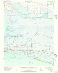
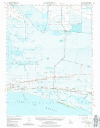
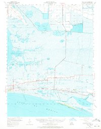
Editions of this 1955 Sweet Lake Map
4 editions found
Other maps of this area

1932 · Moss Lake
USGS Topo · 1:31,680

1932 · Lake Charles SW
USGS Topo · 1:31,680

1932 · Lake Charles SE
USGS Topo · 1:31,680

1934 · Cameron
USGS Topo · 1:24,000

1934 · Lake Misere
USGS Topo · 1:24,000

1934 · Sweet Lake
USGS Topo · 1:24,000

1934 · Grand Bayou
USGS Topo · 1:24,000

1934 · Boudreaux Lake
USGS Topo · 1:24,000

1935 · Cameron
USGS Topo · 1:31,680

1935 · Sweet Lake
USGS Topo · 1:31,680