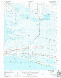
1955 Map of Sweet Lake
USGS Topo · Published 1964About this map
The Sweet Lake Oil Field and the surrounding marshlands of Cameron Parish reveal a landscape defined by industrial development and coastal settlement patterns in the mid-1950s. Much of the central terrain is occupied by the Sabine National Wildlife Refuge, where a labyrinth of waterways like Grand Bayou and Cross Bayou crisscross the wetlands. Human habitation follows the higher ground of the cheniers, notably along Oak Grove Ridge and Front Ridge, where community life centers on Creole and Oak Grove.
Find a feature on this map
56 named features on this map. Tap any name to fly to it.
Don’t see what you’re looking for? This feature index may not catch every label — zoom into the map to look around manually.
Map Details
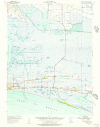
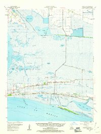
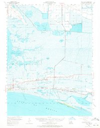
Editions of this 1955 Sweet Lake Map
4 editions found
Other maps of this area

1932 · Moss Lake
USGS Topo · 1:31,680

1932 · Lake Charles SW
USGS Topo · 1:31,680

1932 · Lake Charles SE
USGS Topo · 1:31,680

1934 · Cameron
USGS Topo · 1:24,000

1934 · Lake Misere
USGS Topo · 1:24,000

1934 · Sweet Lake
USGS Topo · 1:24,000

1934 · Grand Bayou
USGS Topo · 1:24,000

1934 · Boudreaux Lake
USGS Topo · 1:24,000

1935 · Cameron
USGS Topo · 1:31,680

1935 · Sweet Lake
USGS Topo · 1:31,680