1956 Map of Sweetwater
USGS Topo · Published 1973About this map
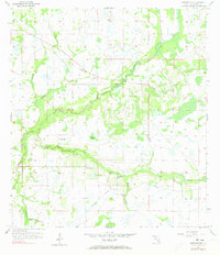
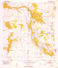
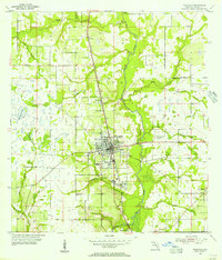
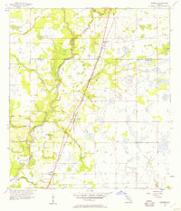
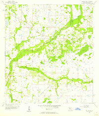
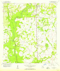
Charlie Creek and its complex network of tributaries define this mid-century landscape in the heart of Florida’s cattle and citrus country. The small community of Sweetwater serves as the focal point, situated near Lake Florence and Sweetwater Branch. The presence of an Indian Mound near the eastern boundary of Range 26 East suggests a deep chronological history of human habitation long before modern ranching took hold. The map reveals a land defined by water management and natural hydrology, featuring several instances of Flowing Well and the expansive Adeline Bay marsh system. To the south, Sand Gully Spring feeds into a series of drainages including Oak Creek and Punch Gully, illustrating the intricate basin structures that characterize this part of the interior peninsula during the 1950s.
Find a feature on this map
18 named features on this map. Tap any name to fly to it.
Don’t see what you’re looking for? This feature index may not catch every label — zoom into the map to look around manually.
Map Details
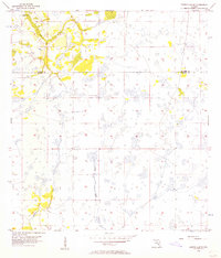
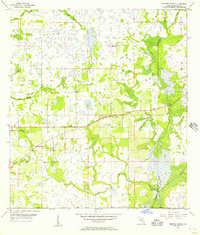
Editions of this 1956 Sweetwater Map
3 editions found
Other maps of this area
1953 · Avon Park
USGS Topo · 1:24,000
1953 · Crewsville SE
USGS Topo · 1:24,000
1953 · Crewsville
USGS Topo · 1:24,000
1955 · Wauchula
USGS Topo · 1:24,000
1956 · Gardner
USGS Topo · 1:24,000
1956 · Sweetwater
USGS Topo · 1:24,000
1956 · Zolfo Springs
USGS Topo · 1:24,000
1956 · Crewsville SW
USGS Topo · 1:24,000
1956 · Griffins Corner
USGS Topo · 1:24,000

1956 · Fort Pierce
USGS Topo · 1:250,000