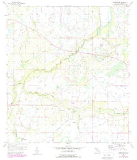
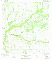
1956 Map of Sweetwater
USGS Topo · Published 1988About this map
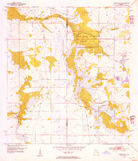
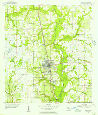
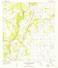
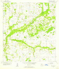
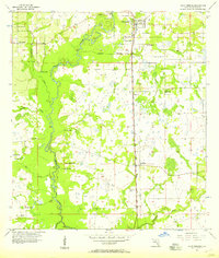
Sweetwater serves as the central settlement point in this interior Florida landscape, situated within a complex network of wetlands and drainages. The area is defined by the winding course of Charlie Creek, which is fed by numerous tributaries including Mineral Branch and Fivemile Gully Branch. A notable cultural landmark, the Indian Mound, stands near the confluence of local waterways, suggesting long-term human presence in this environment of bays and gullies.
Find a feature on this map
22 named features on this map. Tap any name to fly to it.
Don’t see what you’re looking for? This feature index may not catch every label — zoom into the map to look around manually.
Map Details
Editions of this 1956 Sweetwater Map
3 editions found
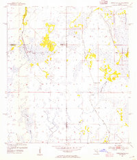
Other maps of this area
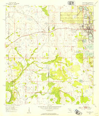
1953 · Avon Park
USGS Topo · 1:24,000
1953 · Crewsville SE
USGS Topo · 1:24,000
1953 · Crewsville
USGS Topo · 1:24,000
1955 · Wauchula
USGS Topo · 1:24,000
1956 · Gardner
USGS Topo · 1:24,000
1956 · Sweetwater
USGS Topo · 1:24,000
1956 · Zolfo Springs
USGS Topo · 1:24,000
1956 · Crewsville SW
USGS Topo · 1:24,000
1956 · Griffins Corner
USGS Topo · 1:24,000

1956 · Fort Pierce
USGS Topo · 1:250,000