
1915 Map of Swingle
USGS Topo · Published 1915About this map
Davis serves as the primary hub of this 1915 survey, situated at the junction of the Southern Pacific (Woodland Line) and the Southern Pacific (Ogden Line). The landscape is defined by its complex drainage systems, where the meandering course of Putah Creek and the South Fork Putah Creek form a significant portion of the Yolo Co Solano Co boundary. To the east, the vast and low-lying Yolo Basin stretches across the map, reflecting the agricultural and flood-prone character of the Sacramento Valley before modern water management. Small rail stops and settlements like Swingle, Webster, and Briggston dot the lines, illustrating the reliance on the railroad for transporting goods from the surrounding fields. The inclusion of features like Willow Slough and Dry Slough further emphasizes the intricate hydrology that shaped early California settlement patterns in this region.
Find a feature on this map
16 named features on this map. Tap any name to fly to it.
Don’t see what you’re looking for? This feature index may not catch every label — zoom into the map to look around manually.
Map Details
Editions of this 1915 Swingle Map
This is the sole edition of this map. No revisions or reprints were ever made.
Other maps of this area

1907 · Woodland
USGS Topo · 1:62,500

1907 · Davisville
USGS Topo · 1:62,500

1908 · Vacaville
USGS Topo · 1:62,500

1908 · Courtland
USGS Topo · 1:62,500

1915 · Yolo
USGS Topo · 1:31,680
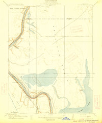
1915 · Elkhorn Weir
USGS Topo · 1:31,680

1915 · Merritt
USGS Topo · 1:31,680

1916 · Dixon
USGS Topo · 1:31,680

1916 · Grays Bend
USGS Topo · 1:31,680
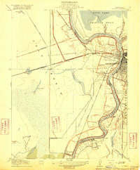
1916 · Lovdal
USGS Topo · 1:31,680