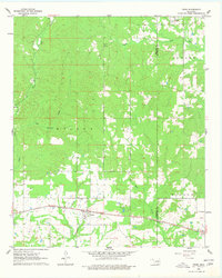
1962 Map of Swink
USGS Topo · Published 1977About this map
Swink and the surrounding woodlands of the Wilson and Fowler districts define this landscape during the early 1960s. The settlement of Swink is situated along the St Louis - San Francisco railway, which serves as the primary east-west transportation artery through this section of Choctaw County. This period shows a rural community structure tied to both the railroad and the local terrain, with the Swink Cem and a small Landing Field located just south of the main tracks.
Find a feature on this map
16 named features on this map. Tap any name to fly to it.
Don’t see what you’re looking for? This feature index may not catch every label — zoom into the map to look around manually.
Map Details
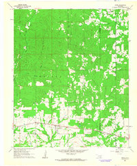
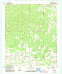
Editions of this 1962 Swink Map
3 editions found
Other maps of this area

1901 · Alikchi
USGS Topo · 1:125,000

1950 · Mcalester
USGS Topo · 1:250,000

1951 · Frogville
USGS Topo · 1:24,000

1951 · Millerton
USGS Topo · 1:24,000

1951 · Kiomatia
USGS Topo · 1:24,000

1953 · Texarkana
USGS Topo · 1:250,000

1956 · Texarkana
USGS Topo · 1:250,000

1962 · McAlester
USGS Topo · 1:250,000

1962 · Wright City
USGS Topo · 1:24,000

1962 · Sobol
USGS Topo · 1:24,000