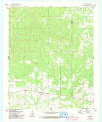
1962 Map of Swink
USGS Topo · Published 1993About this map
Swink and Rufe stand as the primary settlements in this rural landscape near the boundary of Choctaw and McCurtain Counties. Recorded through surveys in the early 1960s and updated in the 1990s, the terrain is defined by a dense network of watercourses, including the notable Doaksville Creek and Pine Creek. The map provides specific points of interest for genealogists and local historians, particularly the Swink Cemetery located just north of its namesake community and the Valliant Cemetery on the southeastern edge. A complex drainage system including Spring Bull Creek, Cold Springs Branch, and Gates Creek reveals the natural topography that shaped early settlement patterns and land use in this corner of Oklahoma. The presence of these creeks suggests a long history of agricultural reliance on the local watershed before modern infrastructure predominated.
Find a feature on this map
12 named features on this map. Tap any name to fly to it.
Don’t see what you’re looking for? This feature index may not catch every label — zoom into the map to look around manually.
Map Details
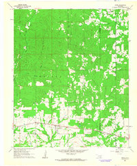
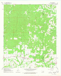
Editions of this 1962 Swink Map
3 editions found
Other maps of this area

1901 · Alikchi
USGS Topo · 1:125,000

1950 · Mcalester
USGS Topo · 1:250,000

1951 · Frogville
USGS Topo · 1:24,000

1951 · Millerton
USGS Topo · 1:24,000

1951 · Kiomatia
USGS Topo · 1:24,000

1953 · Texarkana
USGS Topo · 1:250,000

1956 · Texarkana
USGS Topo · 1:250,000

1962 · McAlester
USGS Topo · 1:250,000

1962 · Wright City
USGS Topo · 1:24,000

1962 · Sobol
USGS Topo · 1:24,000