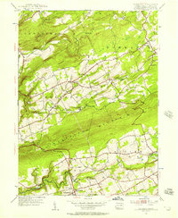
1955 Map of Sybertsville
USGS Topo · Published 1957About this map
Nescopeck Mountain anchors the center of this mid-century Luzerne County landscape, separating the northern townships of Slocum and Dorrance from the southern valley of Sugarloaf. The 1950s terrain reveals a mix of agricultural clearings and forested ridges, where Wapwallopen Creek and Nescopeck Creek drain the high ground. Small rural hubs like Sybertsville and St Johns serve as focal points for the surrounding farmsteads, while the map records vanishing educational and religious markers such as Good Sch, Kinsey Sch, and the River Ch. A distinct local recreation and transportation network is evident, featuring a Race Track near St Johns and an Airport positioned on the level grounds north of Drums. Industrial activity is represented by scattered sites like the Quarry near Feys Grove and a Sand Pit north of Hess Mountain.
Find a feature on this map
36 named features on this map. Tap any name to fly to it.
Don’t see what you’re looking for? This feature index may not catch every label — zoom into the map to look around manually.
Map Details
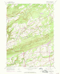
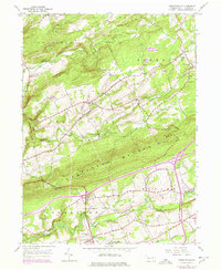
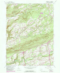
Editions of this 1955 Sybertsville Map
4 editions found
Other maps of this area

1889 · Hazleton
USGS Topo · 1:62,500

1891 · Wilkesbarre
USGS Topo · 1:62,500

1891 · Hazleton
USGS Topo · 1:62,500

1892 · Mahanoy
USGS Topo · 1:62,500

1893 · Hazleton
USGS Topo · 1:62,500

1893 · Mahanoy
USGS Topo · 1:62,500

1894 · Shickshinny
USGS Topo · 1:62,500

1894 · Wilkesbarre
USGS Topo · 1:62,500

1943 · Scranton
USGS Topo · 1:125,000

1944 · Newark
USGS Topo · 1:250,000
Featured Places
- Dorrance Township, PA
- Conyngham Township, PA
- Slocum Township, PA
- Nescopeck Township, PA
- Butler Township, PA