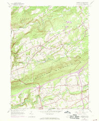
1955 Map of Sybertsville
USGS Topo · Published 1969About this map
Nescopeck Mountain and Conyngham Mountain dominate the topography of this Luzerne County survey, directing the flow of Wapwallopen Creek and Nescopeck Creek through the valleys. The map documents a mid-century landscape of small rural settlements and scattered family-named landmarks. The village of Sybertsville serves as a focal point near the southern edge, while the older agrarian character of the region is preserved through numerous rural institutions like St James Ch, Good Sch, and Groover Cem.
Find a feature on this map
35 named features on this map. Tap any name to fly to it.
Don’t see what you’re looking for? This feature index may not catch every label — zoom into the map to look around manually.
Map Details
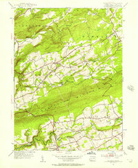
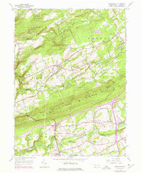
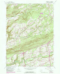
Editions of this 1955 Sybertsville Map
4 editions found
Other maps of this area

1889 · Hazleton
USGS Topo · 1:62,500

1891 · Wilkesbarre
USGS Topo · 1:62,500

1891 · Hazleton
USGS Topo · 1:62,500

1892 · Mahanoy
USGS Topo · 1:62,500

1893 · Hazleton
USGS Topo · 1:62,500

1893 · Mahanoy
USGS Topo · 1:62,500

1894 · Shickshinny
USGS Topo · 1:62,500

1894 · Wilkesbarre
USGS Topo · 1:62,500

1943 · Scranton
USGS Topo · 1:125,000

1944 · Newark
USGS Topo · 1:250,000
Featured Places
- Dorrance Township, PA
- Conyngham Township, PA
- Slocum Township, PA
- Nescopeck Township, PA
- Butler Township, PA