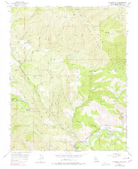
1956 Map of Sycamore Flat
USGS Topo · Published 1977About this map
Sycamore Flat and Grandmas Flat mark the lower elevations where the Arroyo Seco cuts through this portion of the Los Padres National Forest. The landscape is defined by the high, ridged terrain of the Sierra Paloma Ridge, which separates numerous drainage basins including Paloma Creek, Piney Creek, and Sand Creek. This mid-century survey reveals a remote ranching and seasonal economy, documented by the presence of George Ranch, Hicks Ranch, and Millers Ranch tucked into the canyons.
Find a feature on this map
35 named features on this map. Tap any name to fly to it.
Don’t see what you’re looking for? This feature index may not catch every label — zoom into the map to look around manually.
Map Details
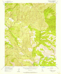
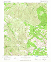
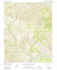
Editions of this 1956 Sycamore Flat Map
4 editions found
Other maps of this area

1910 · Soledad
USGS Topo · 1:31,680

1915 · Soledad
USGS Topo · 1:62,500

1919 · Junipero Serra
USGS Topo · 1:62,500

1920 · Jamesburg
USGS Topo · 1:48,000

1921 · Jamesburg
USGS Topo · 1:62,500

1921 · Lucia
USGS Topo · 1:62,500

1939 · Jamesburg
USGS Topo · 1:62,500

1940 · Jamesburg
USGS Topo · 1:62,500

1940 · Soledad
USGS Topo · 1:62,500

1941 · Lucia
USGS Topo · 1:62,500