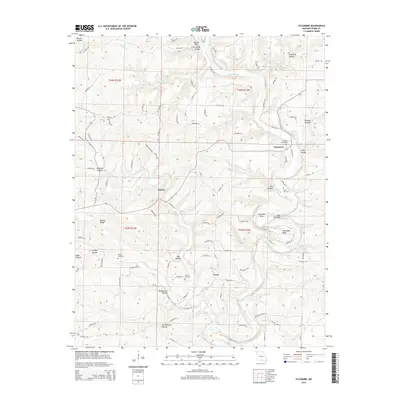
2015 Map of Sycamore
USGS Topo · Published 2015About this map
Bryant Creek carves a winding path through this portion of the Ozarks, creating dramatic landforms like Muleshoe Bend, Horseshoe Bend, and the narrow ridge known as The Narrows. This rural Missouri landscape is characterized by its deep-set water sources, including Brixey Spring and Hodgson Spring, which have historically dictated the placement of small communities. The map shows the established settlements of Sycamore, Zanoni, and Luna, which serve as the primary hubs in a network of county roads.
Find a feature on this map
101 named features on this map. Tap any name to fly to it.
Don’t see what you’re looking for? This feature index may not catch every label — zoom into the map to look around manually.
Map Details
Editions of this 2015 Sycamore Map
This is the sole edition of this map. No revisions or reprints were ever made.
Other maps of this area

1934 · Gainesville
USGS Topo · 1:48,000

1937 · Buckhart
USGS Topo · 1:48,000

1939 · Topaz
USGS Topo · 1:62,500

1940 · Gainesville
USGS Topo · 1:62,500

1941 · Topaz
USGS Topo · 1:62,500

1943 · Buckhart
USGS Topo · 1:62,500

1944 · Cureall
USGS Topo · 1:62,500

1945 · Harrison
USGS Topo · 1:250,000

1945 · Buckhart
USGS Topo · 1:62,500

1946 · Cureall
USGS Topo · 1:62,500