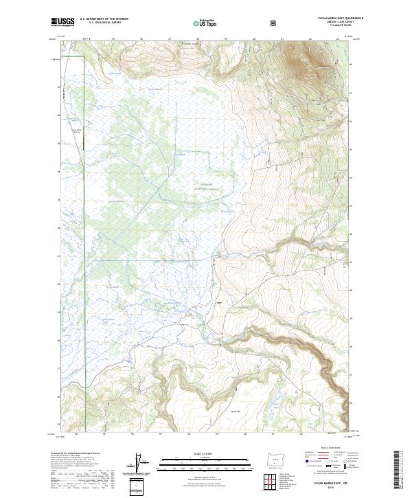
2023 Map of Sycan Marsh East
USGS Topo · Published 2023About this map
Sycan Marsh dominates this landscape, showing a complex network of wetlands and seasonal water at the headwaters of the Sycan Wild and Scenic River. This high-desert wetland system is protected within the Fremont National Forest, where the marshy basin meets the rising elevations of Brattain Ridge and Sycan Butte. The hydrologic patterns are well-defined, with Coyote Creek and Chocktoot Creek feeding into the marshy expanse from the north and east.
Find a feature on this map
21 named features on this map. Tap any name to fly to it.
Don’t see what you’re looking for? This feature index may not catch every label — zoom into the map to look around manually.
Map Details
Editions of this 2023 Sycan Marsh East Map
This is the sole edition of this map. No revisions or reprints were ever made.
Other maps of this area

1889 · Klamath
USGS Topo · 1:250,000

1894 · Klamath
USGS Topo · 1:250,000

1955 · Klamath Falls
USGS Topo · 1:250,000

1958 · Klamath Falls
USGS Topo · 1:250,000

1960 · Riverbed Butte
USGS Topo · 1:62,500

1960 · Sycan Marsh
USGS Topo · 1:62,500

1966 · Shake Butte
USGS Topo · 1:24,000

1966 · Pole Butte
USGS Topo · 1:24,000

1966 · Foster Butte
USGS Topo · 1:24,000

1974 · Lake Abert
USGS Topo · 1:100,000