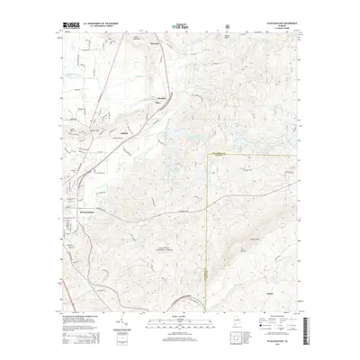
2014 Map of Sylacauga East
USGS Topo · Published 2014About this map
The eastern edges of Sylacauga give way to the wooded ridges of the Talladega National Forest in this recent survey of east-central Alabama. The landscape is defined by the transition from urban centers and industrial corridors along the Talladega Hwy to the significant elevations of Rebecca Mtn. Smaller settlements such as Sycamore, Emauhee, Chico, and Oldfield are scattered along the rail and road networks that parallel Tallaseehatchee Cr.
Find a feature on this map
32 named features on this map. Tap any name to fly to it.
Don’t see what you’re looking for? This feature index may not catch every label — zoom into the map to look around manually.
Map Details
Editions of this 2014 Sylacauga East Map
This is the sole edition of this map. No revisions or reprints were ever made.
Other maps of this area

1890 · Talladega
USGS Topo · 1:125,000

1892 · Talladega
USGS Topo · 1:125,000

1915 · Gantts Quarry
USGS Topo · 1:48,000

1917 · Gantts Quarry
USGS Topo · 1:62,500

1943 · Talladega
USGS Topo · 1:62,500

1944 · Goodwater
USGS Topo · 1:62,500

1946 · Talladega
USGS Topo · 1:62,500

1947 · Goodwater
USGS Topo · 1:62,500

1953 · Birmingham
USGS Topo · 1:250,000

1956 · Birmingham
USGS Topo · 1:250,000