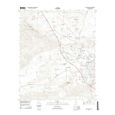
2014 Map of Sylacauga West
USGS Topo · Published 2014About this map
The white marble district of Talladega County defines the industrial and residential layout of this western edge of Sylacauga. Evidence of the region's famous quarrying operations is centered at Gantts Quarry and the nearby Marble City Lake, while the residential communities of Marble Hill, Walco, and Odena cluster around the infrastructure supporting these mines. The terrain transitions from the industrial lowlands to the elevated peaks of Kahatchee Mtn and Crumplers Peak, which overlook the winding course of Kahatchee Cr. Local history is preserved in numerous family and community burial grounds, including Odena Cem and Rising Star Cem, while transportation is anchored by Gantts Junction and Merkel Field Sylacauga Municipal Airport. This survey provides a clear view of the complex relationship between the natural mineral deposits and the growth of local settlements.
Find a feature on this map
165 named features on this map. Tap any name to fly to it.
Don’t see what you’re looking for? This feature index may not catch every label — zoom into the map to look around manually.
Map Details
Editions of this 2014 Sylacauga West Map
This is the sole edition of this map. No revisions or reprints were ever made.
Other maps of this area

1890 · Talladega
USGS Topo · 1:125,000

1892 · Talladega
USGS Topo · 1:125,000

1915 · Gantts Quarry
USGS Topo · 1:48,000

1917 · Gantts Quarry
USGS Topo · 1:62,500

1943 · Talladega
USGS Topo · 1:62,500

1944 · Goodwater
USGS Topo · 1:62,500

1946 · Talladega
USGS Topo · 1:62,500

1947 · Goodwater
USGS Topo · 1:62,500

1953 · Birmingham
USGS Topo · 1:250,000

1956 · Birmingham
USGS Topo · 1:250,000