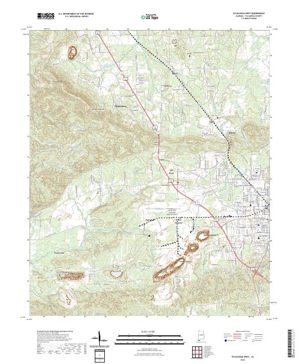
2024 Map of Sylacauga West
USGS Topo · Published 2024About this map
Gantts Quarry and the nearby Marble City Lake reflect the industrial heritage of this portion of Talladega County, where the unique geology has long defined local development. The landscape is characterized by the prominent ridges of Kahatchee Mtn and Merkl Mtn, separated by gaps such as Fulton Gap and Oden Gap. These natural corridors have guided the paths of historic transportation routes and the growth of settlements like Childersburg, Odena, and Mignon.
Find a feature on this map
101 named features on this map. Tap any name to fly to it.
Don’t see what you’re looking for? This feature index may not catch every label — zoom into the map to look around manually.
Map Details
Editions of this 2024 Sylacauga West Map
This is the sole edition of this map. No revisions or reprints were ever made.
Other maps of this area

1890 · Talladega
USGS Topo · 1:125,000

1892 · Talladega
USGS Topo · 1:125,000

1915 · Gantts Quarry
USGS Topo · 1:48,000

1917 · Gantts Quarry
USGS Topo · 1:62,500

1943 · Talladega
USGS Topo · 1:62,500

1944 · Goodwater
USGS Topo · 1:62,500

1946 · Talladega
USGS Topo · 1:62,500

1947 · Goodwater
USGS Topo · 1:62,500

1953 · Birmingham
USGS Topo · 1:250,000

1956 · Birmingham
USGS Topo · 1:250,000