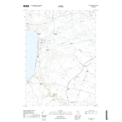
2019 Map of Sylvan Beach
USGS Topo · Published 2019About this map
Oneida Lake defines the western edge of this landscape, where the contemporary shorelines of Sylvan Beach and Verona Beach meet the mouth of Fish Creek. This area illustrates a complex hydrographic network where the historic Erie Canal cuts through the lowlands, paralleled by Wood Creek and various drainage channels like Black Cr and Drum Cr. The transition from the lakefront beaches to the higher ground of Paradise Hill and Irish Ridge to the east reveals a mix of recreational shoreline development and traditional rural settlements. Local history is anchored by numerous family and community burial grounds, including Doxstater Cem and Murray Cem. The intersection of water and transport is further evidenced by structures such as the Higginsville Road Bridge and Herder Bridge, which facilitate movement across the waterways that have long shaped the boundary between Oneida and Madison counties.
Find a feature on this map
94 named features on this map. Tap any name to fly to it.
Don’t see what you’re looking for? This feature index may not catch every label — zoom into the map to look around manually.
Map Details
Editions of this 2019 Sylvan Beach Map
This is the sole edition of this map. No revisions or reprints were ever made.
Other maps of this area

1895 · Chittenango
USGS Topo · 1:62,500

1895 · Oneida
USGS Topo · 1:62,500

1898 · Oneida
USGS Topo · 1:62,500

1898 · Chittenango
USGS Topo · 1:62,500

1902 · Chittenango
USGS Topo · 1:62,500

1902 · Oneida
USGS Topo · 1:62,500

1905 · Taberg
USGS Topo · 1:62,500

1906 · Kasoag
USGS Topo · 1:62,500

1939 · Oneida
USGS Topo · 1:62,500

1941 · Jewell
USGS Topo · 1:24,000