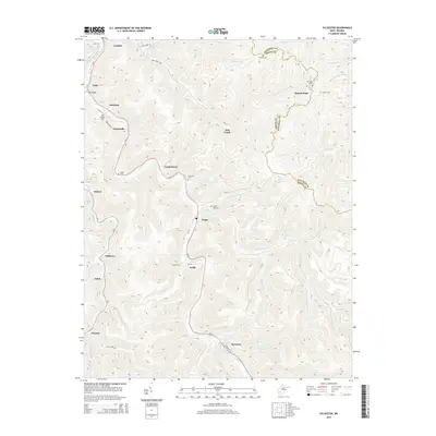
2014 Map of Sylvester
USGS Topo · Published 2014About this map
The Big Coal River valley serves as the primary artery for settlement through the heart of Boone County, West Virginia. Along its winding course, a network of small coal-country communities including Seth, Fosterville, Orgas, and Keith follow the river and WV-3. The terrain is deeply incised by countless narrow hollows and creeks, such as Joes Cr, White Oak Cr, and Little Elk Cr, which dictate the local road patterns. Family history is etched into the landscape through numerous hillside burials, including Bowen Cem, Oxley Cem, and Foster Cem. Toward the southern edge of the survey, the village of Sylvester sits at the confluence of several forks, while the community of Prenter marks a point of deeper penetration into the coalfields along Hopkins Fork.
Find a feature on this map
68 named features on this map. Tap any name to fly to it.
Don’t see what you’re looking for? This feature index may not catch every label — zoom into the map to look around manually.
Map Details
Editions of this 2014 Sylvester Map
This is the sole edition of this map. No revisions or reprints were ever made.
Other maps of this area

1891 · Oceana
USGS Topo · 1:125,000

1891 · Raleigh
USGS Topo · 1:125,000

1893 · Oceana
USGS Topo · 1:125,000

1897 · Kanawha Falls
USGS Topo · 1:125,000

1897 · Raleigh
USGS Topo · 1:125,000

1898 · Oceana
USGS Topo · 1:125,000

1899 · Charleston
USGS Topo · 1:125,000

1900 · Kanawha Falls
USGS Topo · 1:125,000

1901 · Kanawha Falls
USGS Topo · 1:125,000

1902 · Raleigh
USGS Topo · 1:125,000