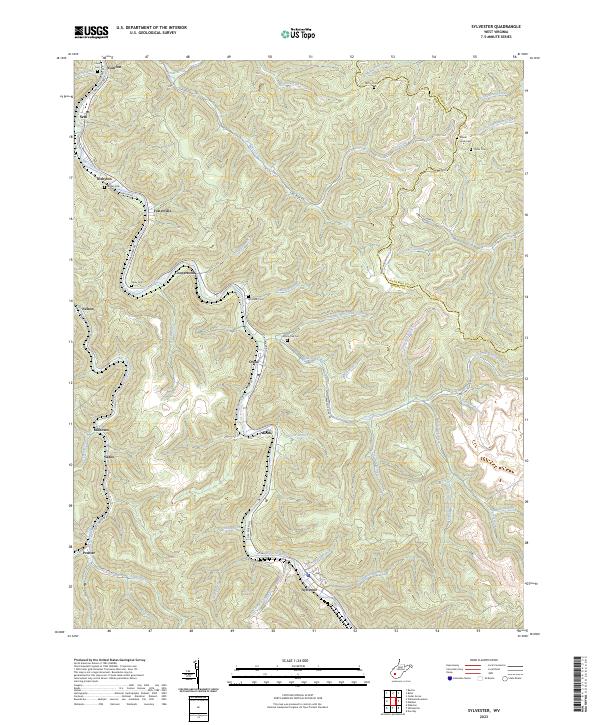
2023 Map of Sylvester
USGS Topo · Published 2023About this map
The Big Coal River snakes through the heart of the Boone County coalfields, dictating the placement of historic mining settlements and early transport routes. In this modern survey, the dense concentration of family cemeteries such as Mount Hope Cem, Bowen Cem, and Oxley Cem provides a clear genealogical map of the valley's long-term residency. Small hamlets like Prenter, Sylvester, and Seth are connected by winding valley roads including Coal River Rd and Seth - Prenter Rd, which trace the narrow corridors between steep ridges. The terrain is defined by an intricate network of waterways like White Oak Creek and Joes Creek, which carve out the hollows where much of the area's local history is concentrated. This map serves as an essential tool for those tracing family lineages in the coal branches or studying the persistent layout of these Appalachian river towns.
Find a feature on this map
63 named features on this map. Tap any name to fly to it.
Don’t see what you’re looking for? This feature index may not catch every label — zoom into the map to look around manually.
Map Details
Editions of this 2023 Sylvester Map
This is the sole edition of this map. No revisions or reprints were ever made.
Other maps of this area

1891 · Oceana
USGS Topo · 1:125,000

1891 · Raleigh
USGS Topo · 1:125,000

1893 · Oceana
USGS Topo · 1:125,000

1897 · Kanawha Falls
USGS Topo · 1:125,000

1897 · Raleigh
USGS Topo · 1:125,000

1898 · Oceana
USGS Topo · 1:125,000

1899 · Charleston
USGS Topo · 1:125,000

1900 · Kanawha Falls
USGS Topo · 1:125,000

1901 · Kanawha Falls
USGS Topo · 1:125,000

1902 · Raleigh
USGS Topo · 1:125,000