
1973 Map of Sylvester
USGS Topo · Published 1975About this map
Sylvester serves as a significant South Georgia transit hub in this early 1970s survey, defined by the junction of the Seaboard Coast Line and the Georgia Northern railroads. The town’s growth is anchored by civil and educational infrastructure, including the County High Sch, Worth Academy, and the County Correctional Institution. Surrounding the urban center, the landscape is dotted with smaller communities like Isabella and Shingler, each marked by historic focal points such as Isabella Cem and Sikes Cem.
Find a feature on this map
37 named features on this map. Tap any name to fly to it.
Don’t see what you’re looking for? This feature index may not catch every label — zoom into the map to look around manually.
Map Details
Editions of this 1973 Sylvester Map
This is the sole edition of this map. No revisions or reprints were ever made.
Other maps of this area

1953 · Waycross
USGS Topo · 1:250,000

1956 · Sylvester
USGS Topo · 1:62,500

1956 · Doerun
USGS Topo · 1:62,500

1958 · Waycross
USGS Topo · 1:250,000

1972 · Cuffietown
USGS Topo · 1:24,000

1973 · Sumner
USGS Topo · 1:24,000

1973 · Ty Ty
USGS Topo · 1:24,000
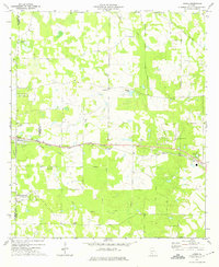
1973 · Acree
USGS Topo · 1:24,000
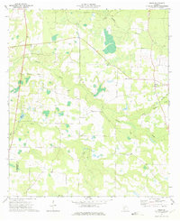
1973 · Doles
USGS Topo · 1:24,000

1973 · Ashburn
USGS Topo · 1:24,000