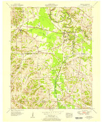
1951 Map of Symsonia
USGS Topo · Published 1956About this map
The Mc Cracken Co and Graves Co line bisects this 1951 landscape, where the Clarks River and its multiple forks dominate the terrain. The eastern edge is defined by the East Fork Clarks River and the Nashville Chattanooga and St Louis Railway, while the western side features the West Fork Clarks River and its extensive wetlands. Settlements like Symsonia and Hardmoney serve as rural hubs, connected by a network of named roads like Central Road and Bond Road. Local life centers around numerous small country churches, including Neece Chapel and Concrete Ch, alongside historic burial grounds such as Thompson Cem and McClure Cem. Notable infrastructure such as the Fish Hatchery and Carters Mill Bridge provide insight into the mid-century agricultural and industrial character of western Kentucky before major modern developments altered the local creek basins.
Find a feature on this map
53 named features on this map. Tap any name to fly to it.
Don’t see what you’re looking for? This feature index may not catch every label — zoom into the map to look around manually.
Map Details
Editions of this 1951 Symsonia Map
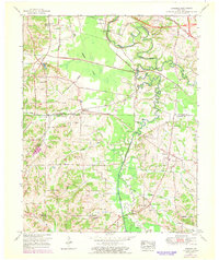
2 editions found
Other maps of this area

1926 · Paducah
USGS Topo · 1:62,500

1929 · Smithland
USGS Topo · 1:62,500

1929 · Paducah
USGS Topo · 1:62,500

1936 · Melber
USGS Topo · 1:24,000

1936 · Paducah
USGS Topo · 1:24,000

1936 · Oak Level
USGS Topo · 1:24,000

1936 · Elva
USGS Topo · 1:24,000

1936 · Smithland
USGS Topo · 1:48,000

1936 · Symsonia
USGS Topo · 1:24,000

1936 · Benton
USGS Topo · 1:48,000