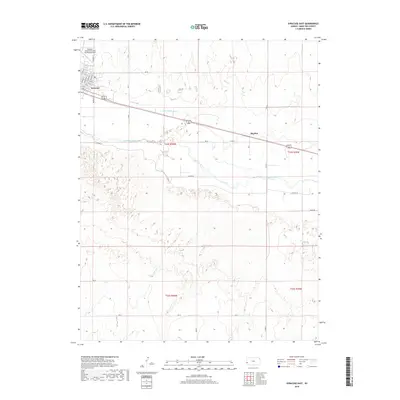
2018 Map of Syracuse East
USGS Topo · Published 2018About this map
The Arkansas River winds through the high plains of western Kansas, defining the center of this Hamilton County landscape. Along its northern banks, the city of Syracuse sits as a regional hub, its street grid extending from Barton St and Ave A to the outskirts near the Syracuse-Hamilton County Municipal Airport. The importance of water management in this arid environment is evident in the presence of the Fort Aubrey Ditch, which cuts across the terrain north of the river. To the east, the small siding of Mayline serves as a reminder of the railroad-aligned development typical of the Kansas prairie. The southern half of the map reveals a more open landscape dominated by the sandy drainages of Sand Cr and a network of section roads like Rd 26 and Rd 27 that organize the expansive agricultural and grazing lands.
Find a feature on this map
32 named features on this map. Tap any name to fly to it.
Don’t see what you’re looking for? This feature index may not catch every label — zoom into the map to look around manually.
Map Details
Editions of this 2018 Syracuse East Map
This is the sole edition of this map. No revisions or reprints were ever made.
Other maps of this area

1900 · Syracuse
USGS Topo · 1:125,000

1920 · Syracuse
USGS Topo · 1:125,000

1955 · Dodge City
USGS Topo · 1:250,000

1955 · Scott City
USGS Topo · 1:250,000

1958 · Dodge City
USGS Topo · 1:250,000

1958 · Scott City
USGS Topo · 1:250,000

1959 · Dodge City
USGS Topo · 1:250,000

1966 · Syracuse East SW
USGS Topo · 1:24,000

1966 · Syracuse East
USGS Topo · 1:24,000
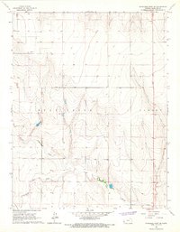
1966 · Syracuse West SE
USGS Topo · 1:24,000