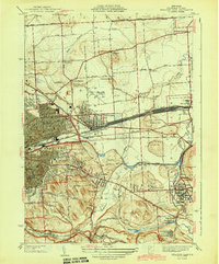
1943 Map of Syracuse East
USGS Topo · Published 1943About this map
Syracuse and its eastern industrial corridors define this mid-century landscape, dominated by the heavy rail infrastructure of the New York Central Railroad and the massive freight Yards near Minoa. The map documents a critical period of urban expansion into East Syracuse and Eastwood, where residential blocks meet the logistical arteries of the Erie Canal (Barge Canal) and its predecessor, the Old Erie Canal.
Find a feature on this map
72 named features on this map. Tap any name to fly to it.
Don’t see what you’re looking for? This feature index may not catch every label — zoom into the map to look around manually.
Map Details
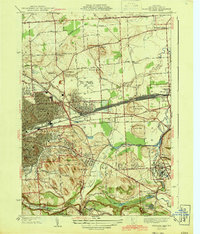
Editions of this 1943 Syracuse East Map
2 editions found
Other maps of this area

1895 · Chittenango
USGS Topo · 1:62,500

1895 · Syracuse
USGS Topo · 1:62,500

1897 · Cazenovia
USGS Topo · 1:62,500

1898 · Syracuse
USGS Topo · 1:62,500

1898 · Chittenango
USGS Topo · 1:62,500

1899 · Cazenovia
USGS Topo · 1:62,500

1900 · Tully
USGS Topo · 1:62,500

1902 · Chittenango
USGS Topo · 1:62,500

1938 · Syracuse East
USGS Topo · 1:24,000

1939 · Syracuse West
USGS Topo · 1:24,000