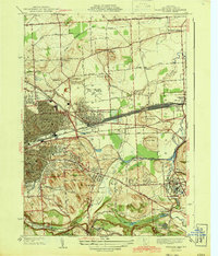
1943 Map of Syracuse East
USGS Topo · Published 1943About this map
The New York Central Railroad corridor dominates the central landscape of this 1938 survey, anchoring the industrial and residential growth of East Syracuse and the neighborhood of Eastwood. The map captures the complex water and transportation networks east of the city, where the Barge Canal and Butternut Creek intersect near Cedar Bay. To the south, the terrain rises sharply toward Pebble Hill and the protected grounds of Clark Reservation, providing a clear contrast between the dense urban grid of Syracuse and the more open village layouts of Fayetteville and De Witt. Genealogists and local historians can locate specific community landmarks such as the Orphans Home and St Marks Cemetery, alongside numerous numbered rural schools like School No 10 and School No 1 that served the outlying farming districts.
Find a feature on this map
69 named features on this map. Tap any name to fly to it.
Don’t see what you’re looking for? This feature index may not catch every label — zoom into the map to look around manually.
Map Details
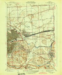
Editions of this 1943 Syracuse East Map
2 editions found
Other maps of this area

1895 · Chittenango
USGS Topo · 1:62,500

1895 · Syracuse
USGS Topo · 1:62,500

1897 · Cazenovia
USGS Topo · 1:62,500

1898 · Syracuse
USGS Topo · 1:62,500

1898 · Chittenango
USGS Topo · 1:62,500

1899 · Cazenovia
USGS Topo · 1:62,500

1900 · Tully
USGS Topo · 1:62,500

1902 · Chittenango
USGS Topo · 1:62,500

1938 · Syracuse East
USGS Topo · 1:24,000

1939 · Syracuse West
USGS Topo · 1:24,000