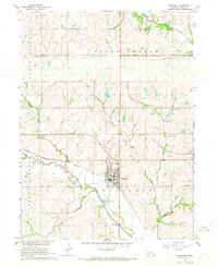
1966 Map of Syracuse
USGS Topo · Published 1968About this map
Syracuse serves as the focal point of this 1960s agricultural survey, situated at the intersection of critical Nebraska transit corridors. The town's layout is closely tied to the Chicago Burlington and Quincy railroad, which follows the winding course of the Little Nemaha River. Local industry is evidenced by numerous Quarries and a series of Sandpits along Brownell Creek, indicating a landscape shaped by resource extraction and prairie farming.
Find a feature on this map
32 named features on this map. Tap any name to fly to it.
Don’t see what you’re looking for? This feature index may not catch every label — zoom into the map to look around manually.
Map Details
Editions of this 1966 Syracuse Map
This is the sole edition of this map. No revisions or reprints were ever made.
Other maps of this area

1903 · Weeping Water
USGS Topo · 1:125,000

1929 · Weeping Water
USGS Topo · 1:125,000

1955 · Lincoln
USGS Topo · 1:250,000

1957 · Lincoln
USGS Topo · 1:250,000

1958 · Lincoln
USGS Topo · 1:250,000
1966 · Dunbar
USGS Topo · 1:24,000
1966 · Avoca
USGS Topo · 1:24,000
1966 · Cook
USGS Topo · 1:24,000
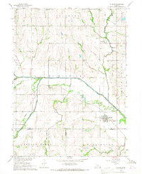
1966 · Talmage
USGS Topo · 1:24,000
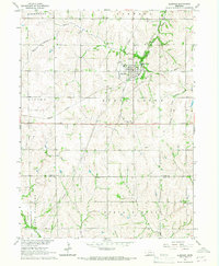
1966 · Elmwood
USGS Topo · 1:24,000