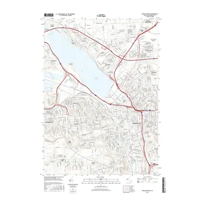
2016 Map of Syracuse West
USGS Topo · Published 2016About this map
Onondaga Lake defines the central geography of this 2016 survey, with the urban sprawl of Syracuse and its surrounding suburbs radiating from its shores. The industrial and residential landscape of Solvay and the heights of Loomis Hill contrast with the concentrated institutional corridors housing SUNY Upstate Medical University and the Pomeroy College of Nursing. The map serves as a modern record of the region's extensive cemetery system, from the sprawling grounds of Oakwood Cemetery to the Onondaga County Veterans Memorial Cemetery near Taunton. Transportation networks are heavily represented by the CSX rail lines and significant local infrastructure like the Long Branch Road Bridge and Onondaga Lake Parkway. This contemporary survey captures the dense development of communities like Mattydale, Lyncourt, and Liverpool as they integrate with the historical terrain of the Lake Plain.
Find a feature on this map
56 named features on this map. Tap any name to fly to it.
Don’t see what you’re looking for? This feature index may not catch every label — zoom into the map to look around manually.
Map Details
Editions of this 2016 Syracuse West Map
This is the sole edition of this map. No revisions or reprints were ever made.
Other maps of this area

1895 · Syracuse
USGS Topo · 1:62,500

1898 · Syracuse
USGS Topo · 1:62,500

1899 · Skaneateles
USGS Topo · 1:62,500

1900 · Baldwinsville
USGS Topo · 1:62,500

1900 · Tully
USGS Topo · 1:62,500

1902 · Skaneateles
USGS Topo · 1:62,500

1938 · Syracuse East
USGS Topo · 1:24,000

1939 · Syracuse West
USGS Topo · 1:24,000

1940 · Brewerton
USGS Topo · 1:24,000

1940 · Cicero
USGS Topo · 1:24,000