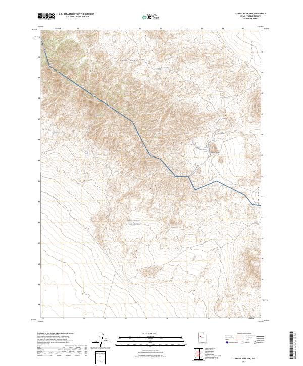
2023 Map of Tabbys Peak SW
USGS Topo · Published 2023About this map
The Cedar Mountains dominate this arid landscape in Tooele County, where the high ridges of the Cedar Mountain Wilderness overlook the flat expanses of Skull Valley and Wide Hollow. Water sources are critical but sparse markers in this desert environment, with Cochran Spring and White Rock Spring providing essential reference points for those traversing the network of unpaved tracks such as Cochran Spring Rd and Rydalch Canyon Rd. To the south, the presence of the West Desert Test Center signifies the region's contemporary military role, where vast tracts of land are reserved for defense testing. The terrain is marked by distinctive geological features like White Rock and numerous canyons, including W White Rock Canyon, illustrating the isolation and specialized land use of this part of the Great Basin.
Find a feature on this map
15 named features on this map. Tap any name to fly to it.
Don’t see what you’re looking for? This feature index may not catch every label — zoom into the map to look around manually.
Map Details
Editions of this 2023 Tabbys Peak SW Map
This is the sole edition of this map. No revisions or reprints were ever made.
Other maps of this area

1885 · Tooele Valley
USGS Topo · 1:250,000

1953 · Tooele
USGS Topo · 1:250,000

1954 · Dugway Proving Ground NE
USGS Topo · 1:24,000

1954 · Camels Back Ridge NW
USGS Topo · 1:24,000

1955 · Tabbys Peak SE
USGS Topo · 1:24,000

1955 · Tabbys Peak
USGS Topo · 1:24,000

1955 · Camels Back Ridge NE
USGS Topo · 1:24,000

1955 · Wig Mtn
USGS Topo · 1:24,000

1955 · Wig Mtn NE
USGS Topo · 1:24,000

1955 · Tabbys Peak SW
USGS Topo · 1:24,000