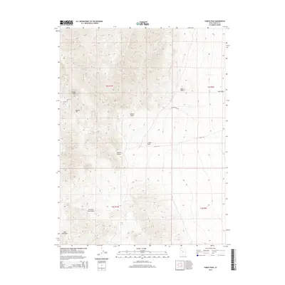
2014 Map of Tabbys Peak
USGS Topo · Published 2014About this map
Tabbys Peak dominates the high ground of the Cedar Mountains in this Tooele County survey, marking a landscape defined by significant elevation changes and seasonal water sources. The map highlights the essential transit corridors through this arid terrain, including Rydalch Pass and the winding Rydalch Spring Rd, which provide passage between the mountain heights and the broad expanse of Skull Valley to the east. For those studying the geography of the Great Basin, the distribution of water is clearly recorded at Tabbys Spring and Cochran Spring. These points of relief, situated near steep drainage features like Rydalch Canyon and Wildcat Canyon, illustrate the traditional routes and landing points used by travelers moving across the desert basins of western Utah.
Find a feature on this map
18 named features on this map. Tap any name to fly to it.
Don’t see what you’re looking for? This feature index may not catch every label — zoom into the map to look around manually.
Map Details
Editions of this 2014 Tabbys Peak Map
This is the sole edition of this map. No revisions or reprints were ever made.
Other maps of this area

1885 · Tooele Valley
USGS Topo · 1:250,000

1953 · Tooele
USGS Topo · 1:250,000

1955 · Tabbys Peak SE
USGS Topo · 1:24,000

1955 · Tabbys Peak
USGS Topo · 1:24,000

1955 · Wig Mtn
USGS Topo · 1:24,000

1955 · Wig Mtn NE
USGS Topo · 1:24,000

1955 · Tabbys Peak SW
USGS Topo · 1:24,000

1955 · Tooele
USGS Topo · 1:250,000

1973 · Quincy Spring
USGS Topo · 1:24,000

1973 · Aragonite SE
USGS Topo · 1:24,000