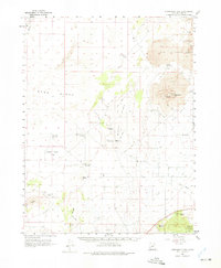
1962 Map of Tabernacle Hill
USGS Topo · Published 1975About this map
Volcanic geology dominates this corner of Millard County, where The Cinders and Lava flows define the high desert terrain. The distinctive Tabernacle Hill and its associated Tabernacle Crater serve as central landmarks in an arid landscape marked by scattered water sources like Squidike Spring 33 and Hot Springs. Human presence is sparse, etched into the earth primarily through a network of Jeep Trails and remote points such as Jacobs Well and Hole-in-the-Rock.
Find a feature on this map
28 named features on this map. Tap any name to fly to it.
Don’t see what you’re looking for? This feature index may not catch every label — zoom into the map to look around manually.
Map Details
Editions of this 1962 Tabernacle Hill Map
2 editions found

Other maps of this area

1885 · Beaver
USGS Topo · 1:250,000

1885 · Sevier Desert
USGS Topo · 1:250,000

1932 · Sevier
USGS Topo · 1:62,500

1935 · Sevier
USGS Topo · 1:62,500

1953 · Richfield
USGS Topo · 1:250,000

1953 · Delta
USGS Topo · 1:250,000

1958 · Richfield
USGS Topo · 1:250,000

1958 · Delta
USGS Topo · 1:250,000

1960 · Meadow
USGS Topo · 1:24,000

1962 · Delta
USGS Topo · 1:250,000