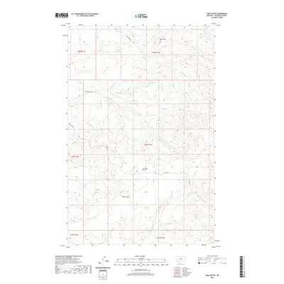
2020 Map of Table Butte
USGS Topo · Published 2020About this map
Table Butte stands as a prominent landmark in this northern Chouteau County landscape, overlooking a series of intricate drainages and historical resource corridors. The map details the complex system of coulees that define the regional hydrology, notably Coal Mine Coulee and Snake Coulee. These features, alongside the presence of Coal Mine Rd, suggest the long-standing importance of mineral extraction in this part of Montana. The drainage patterns of Gorman Cr and Big Sandy Cr crisscross the terrain, showing how water has carved the high plains. While the area is sparsely settled, the network of named access points like Camp Creek Rd and Keller Ln provide a clear view of how large-scale ranching and land management are organized across the Public Land Survey System grids of T28N R14E and surrounding townships.
Find a feature on this map
20 named features on this map. Tap any name to fly to it.
Don’t see what you’re looking for? This feature index may not catch every label — zoom into the map to look around manually.
Map Details
Editions of this 2020 Table Butte Map
This is the sole edition of this map. No revisions or reprints were ever made.
Other maps of this area

1904 · Boxelder
USGS Topo · 1:62,500

1906 · Boxelder
USGS Topo · 1:62,500

1919 · Big Sandy
USGS Topo · 1:125,000

1953 · Lonetree Coulee
USGS Topo · 1:24,000

1953 · Havre
USGS Topo · 1:250,000

1954 · Shelby
USGS Topo · 1:250,000

1957 · Havre
USGS Topo · 1:250,000

1958 · Shelby
USGS Topo · 1:250,000

1958 · Havre
USGS Topo · 1:250,000

1959 · Laredo
USGS Topo · 1:62,500