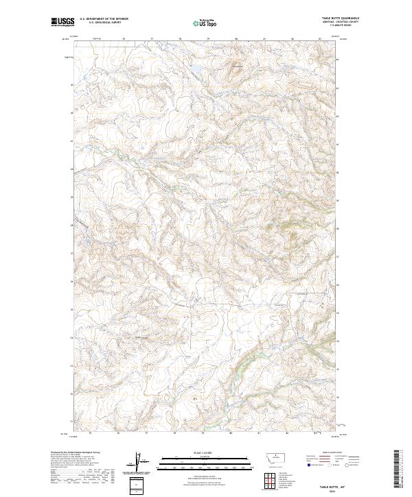
2024 Map of Table Butte
USGS Topo · Published 2024About this map
Table Butte dominates the northern skyline of this Montana landscape, overseeing a complex network of coulees and creek drainages in Chouteau County. The terrain is deeply incised by the erosive forces of Big Sandy Creek and Frenchman Creek, which define the southern reaches of the quadrangle. The naming of Coal Mine Coulee and Coal Mine Rd points to the historical extraction of resources from these slopes, while names like Snake Coulee and Gun Creek reflect the local character of the high plains. Transport and access are limited to a handful of gravel routes, including Camp Creek Rd and Gorman Creek Rd, which follow the natural contours of the land. The branching of North Fork Gorman Creek and South Fork Gorman Creek illustrates the intricate watershed patterns common in this part of the state, where seasonal water flow has carved significant relief into the earth.
Find a feature on this map
21 named features on this map. Tap any name to fly to it.
Don’t see what you’re looking for? This feature index may not catch every label — zoom into the map to look around manually.
Map Details
Editions of this 2024 Table Butte Map
This is the sole edition of this map. No revisions or reprints were ever made.
Other maps of this area

1904 · Boxelder
USGS Topo · 1:62,500

1906 · Boxelder
USGS Topo · 1:62,500

1919 · Big Sandy
USGS Topo · 1:125,000

1953 · Lonetree Coulee
USGS Topo · 1:24,000

1953 · Havre
USGS Topo · 1:250,000

1954 · Shelby
USGS Topo · 1:250,000

1957 · Havre
USGS Topo · 1:250,000

1958 · Shelby
USGS Topo · 1:250,000

1958 · Havre
USGS Topo · 1:250,000

1959 · Laredo
USGS Topo · 1:62,500